



Neighbourhood
Campbell River
Campbell River

Life on the 50th parallel revolves around deep tidal passages, thick coastal forests, and tightly knit marine communities.
Highway 19 anchors a network of distinct coastal settlements linked by water. The mainland acts as the primary urban hub, while regular ferry service connects residents to the slower pace of Quadra and Cortes islands. Further west, Strathcona borders a vast mountainous interior.
The region stretches from the river mouth to the outer Discovery Islands and west into the mountains of Strathcona.
Campbell River is the hub, on the east coast of Vancouver Island at the 50th parallel. A ten-minute ferry takes you to Quadra Island, and a second ferry from Quadra reaches Cortes Island.
Highway 28 runs west into Strathcona Provincial Park, the oldest provincial park in BC, with lakes, waterfalls and alpine peaks.
Each place has its own pace. Start with the guides below.
Campbell River, Quadra Island, Strathcona and Cortes Island share the same ocean, the same forests and the same wild nature, each with its own pace. Pick yours.
Explore the cityNeighbourhoods across Campbell River, each with its own guide.
Campbell River
Campbell River
Campbell River
Campbell River
Campbell River
Campbell River
Campbell River
Campbell River
Campbell River
Campbell River
Hover for a closer look.Tap a card for a closer look. A conversation takes you further.
Locals divide their time between tidal fishing grounds, dense provincial parks, and busy ferry terminals. Grasping how these four distinct zones connect makes getting around much easier.
Begin your trip down at the waterfront by walking the Sea Walk toward Willow Point to watch marine traffic. If you want immediate forest access, drive up to Quathiaski Cove on Quadra Island or head west toward Buttle Lake.

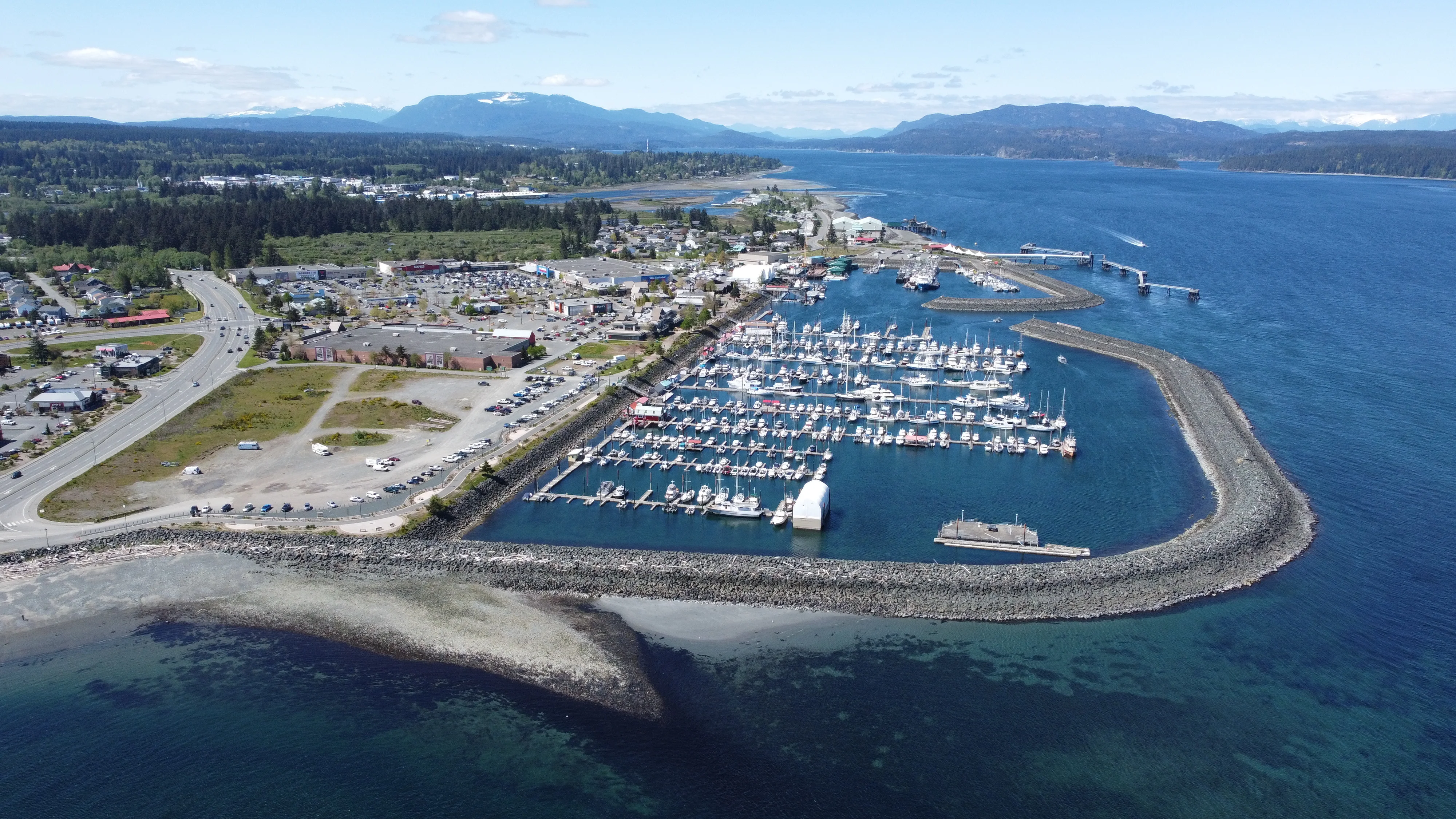
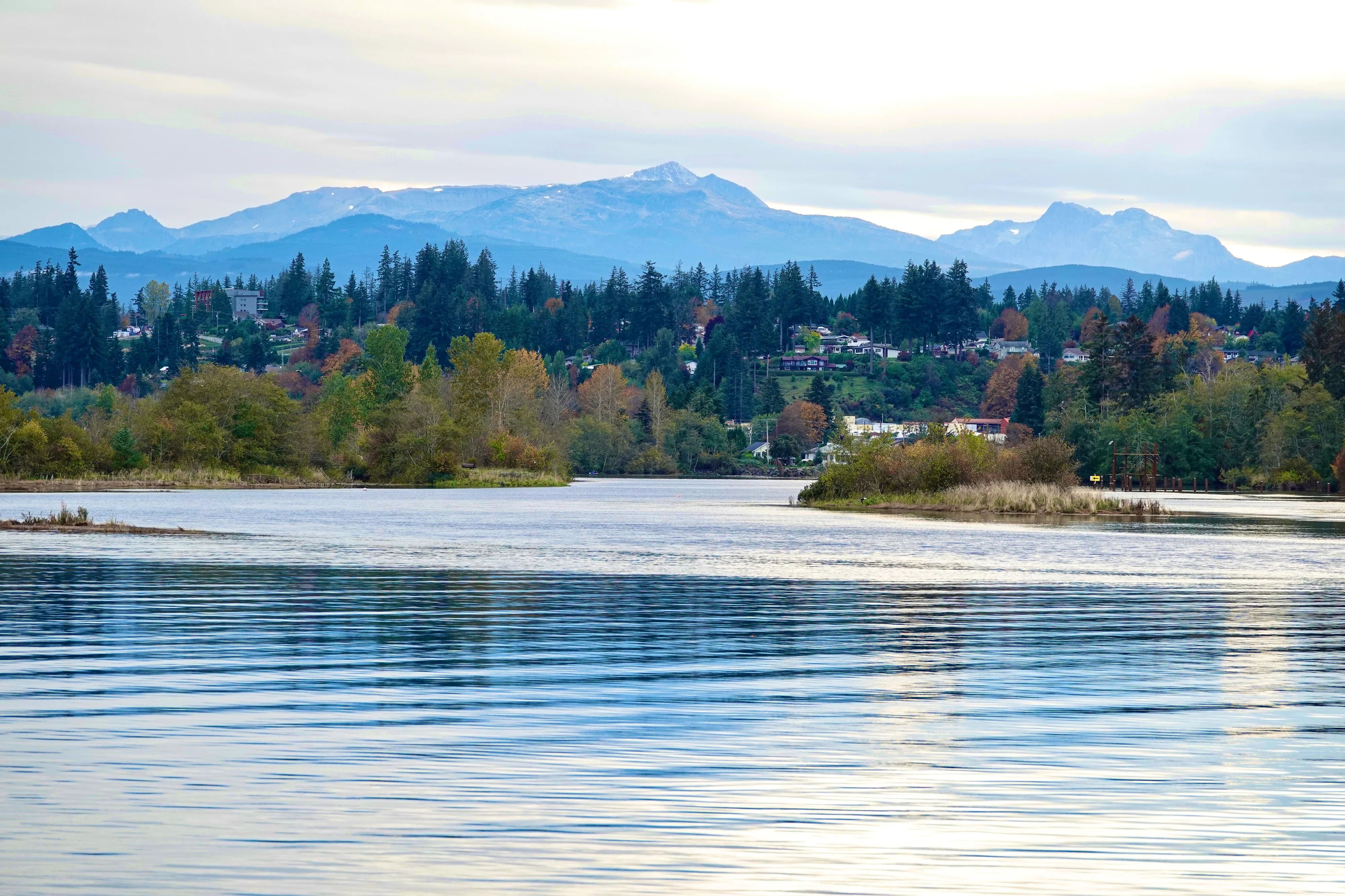
The commercial centre sits right on the edge of Discovery Passage. This urban mainland zone holds the main hospital, the regional airport, and major cultural hubs like the Tidemark Theatre. Suburbs stretch south along the highway, while the waterfront district continues to expand.
A short ferry ride east takes you to Quadra Island. Neighbourhoods like Quathiaski Cove and Heriot Bay cluster around the ferry terminals. Locals gather at the Quadra Island Community Centre and spend weekends walking Rebecca Spit. It is a rural environment heavily focused on marine recreation.
Further east across another channel sits Cortes Island. The population here is much smaller, with homes scattered along the forested shoreline. Residents rely on community halls for social events and embrace a quiet, isolated lifestyle.
Driving west from the mainland takes you into the mountainous terrain of Strathcona. This rugged zone centres around Buttle Lake. It contains British Columbia's oldest provincial park, created over a century ago, and gives hikers direct access to deep backcountry terrain.
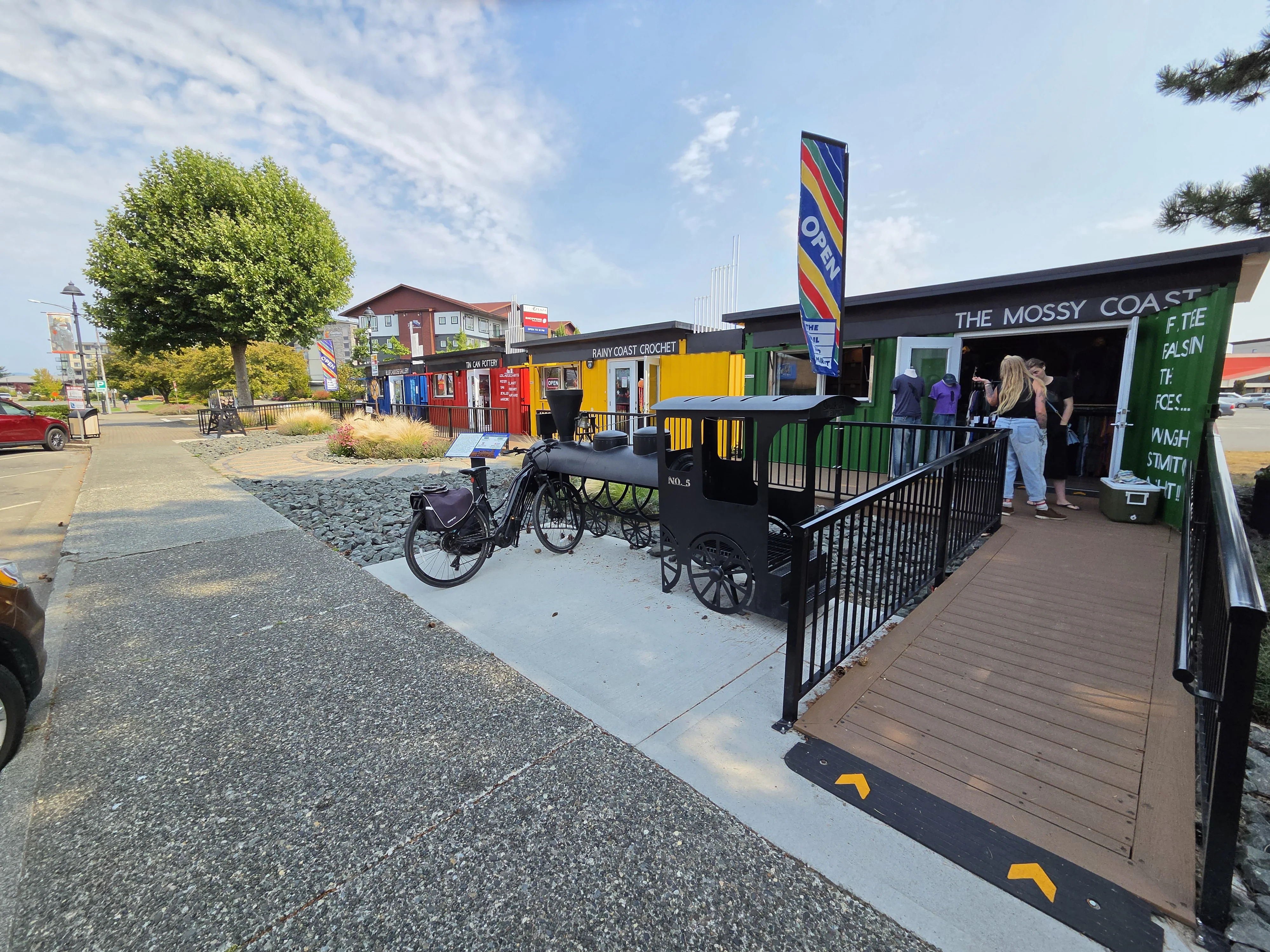
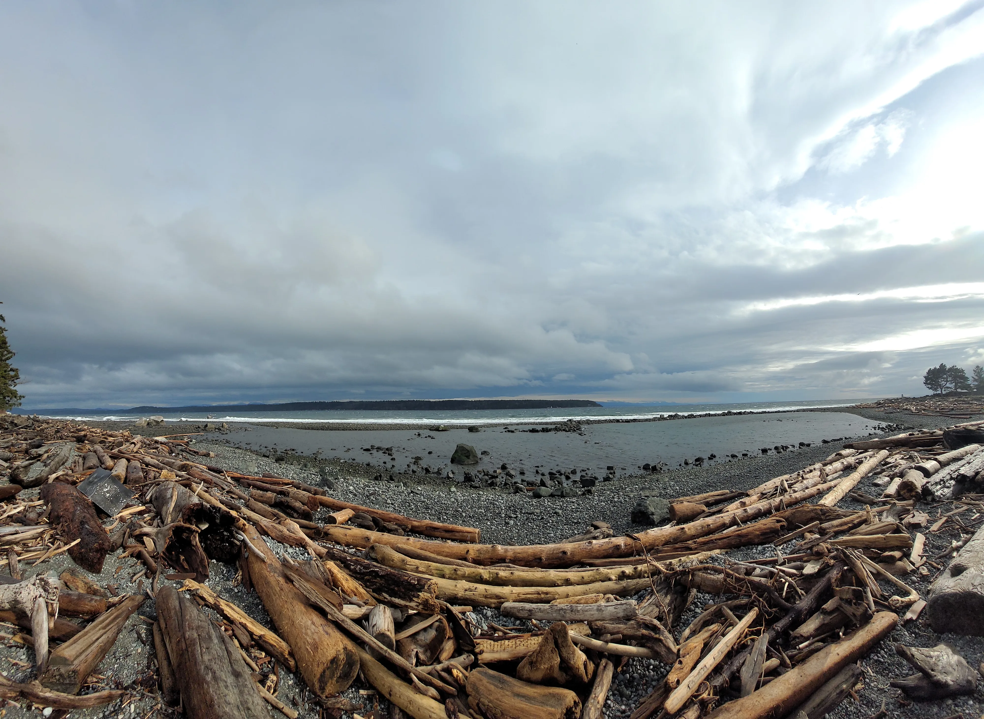
Down on the flat coastal stretch, Willow Point and Downtown / City Centre keep residents close to pebble beaches and retail blocks. Moving slightly north, Campbellton (River Village) and Discovery Harbour / Tyee Spit mix industrial history with active marinas and floatplane docks. Families tend to look uphill toward Quinsam Heights or south along the Rockland / Hwy 19A Waterfront corridor.
Island real estate looks quite different. Properties on Quadra sit perched on steep, forested hillsides above the water. Quathiaski Cove handles the daily commuter traffic, while Heriot Bay acts as the departure point for the Cortes ferry.
Cortes properties face the ocean, separated by thick stands of cedar and fir. The housing stock here leans heavily toward custom-built rural homes and small cabins.
Out west in the Strathcona district, residential lots are large and widely spaced. Off-grid properties and wilderness lodges dot the landscape near the park boundaries.

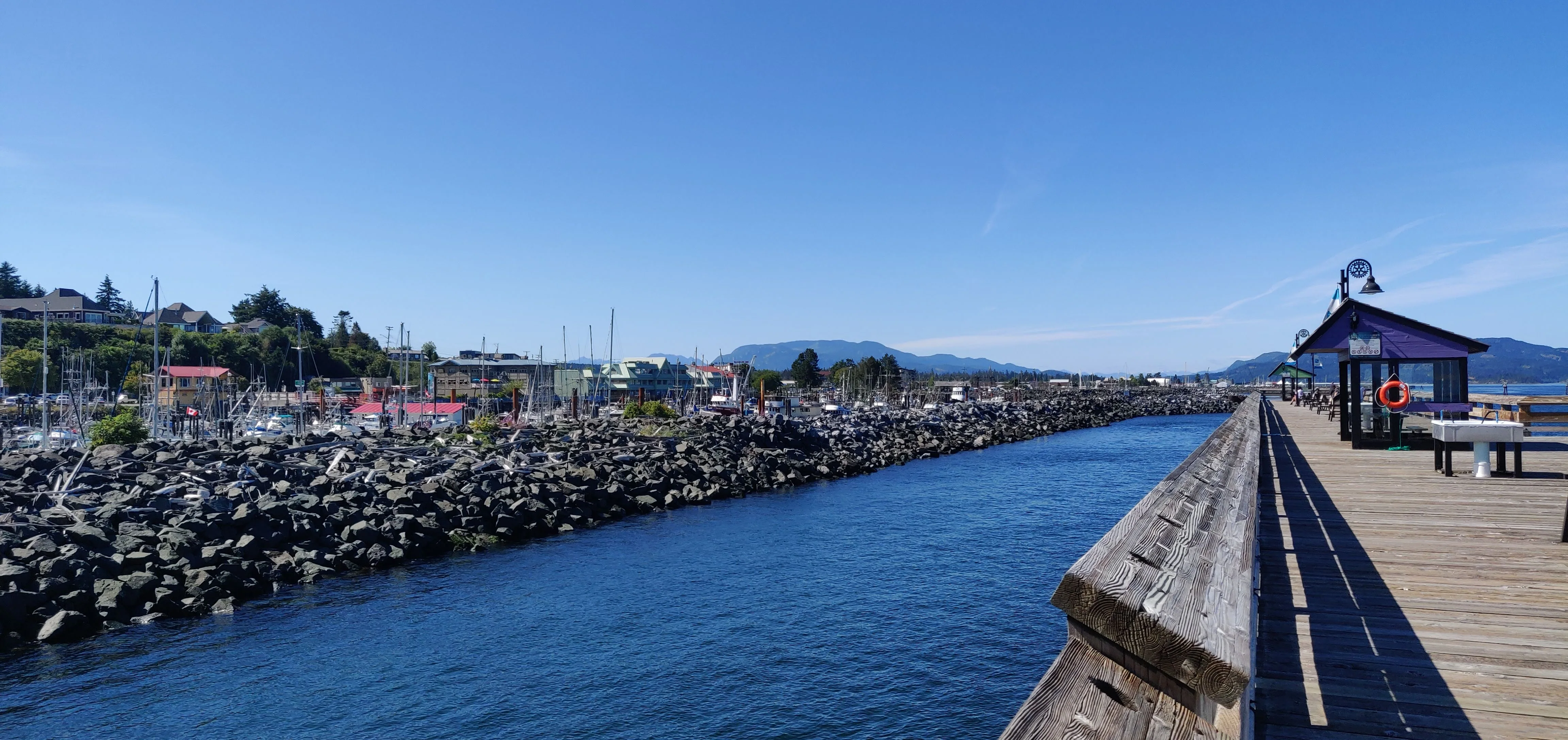
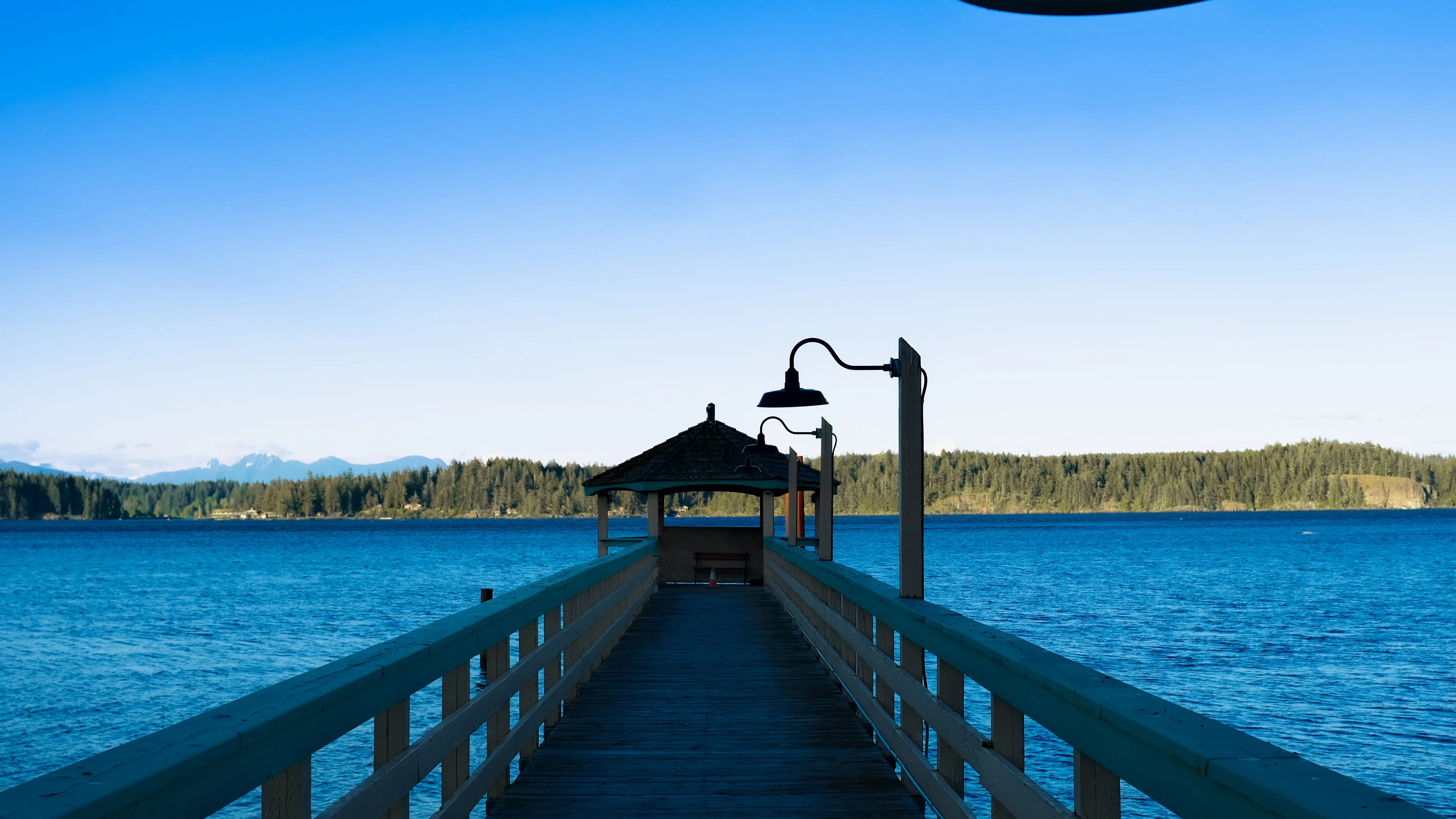
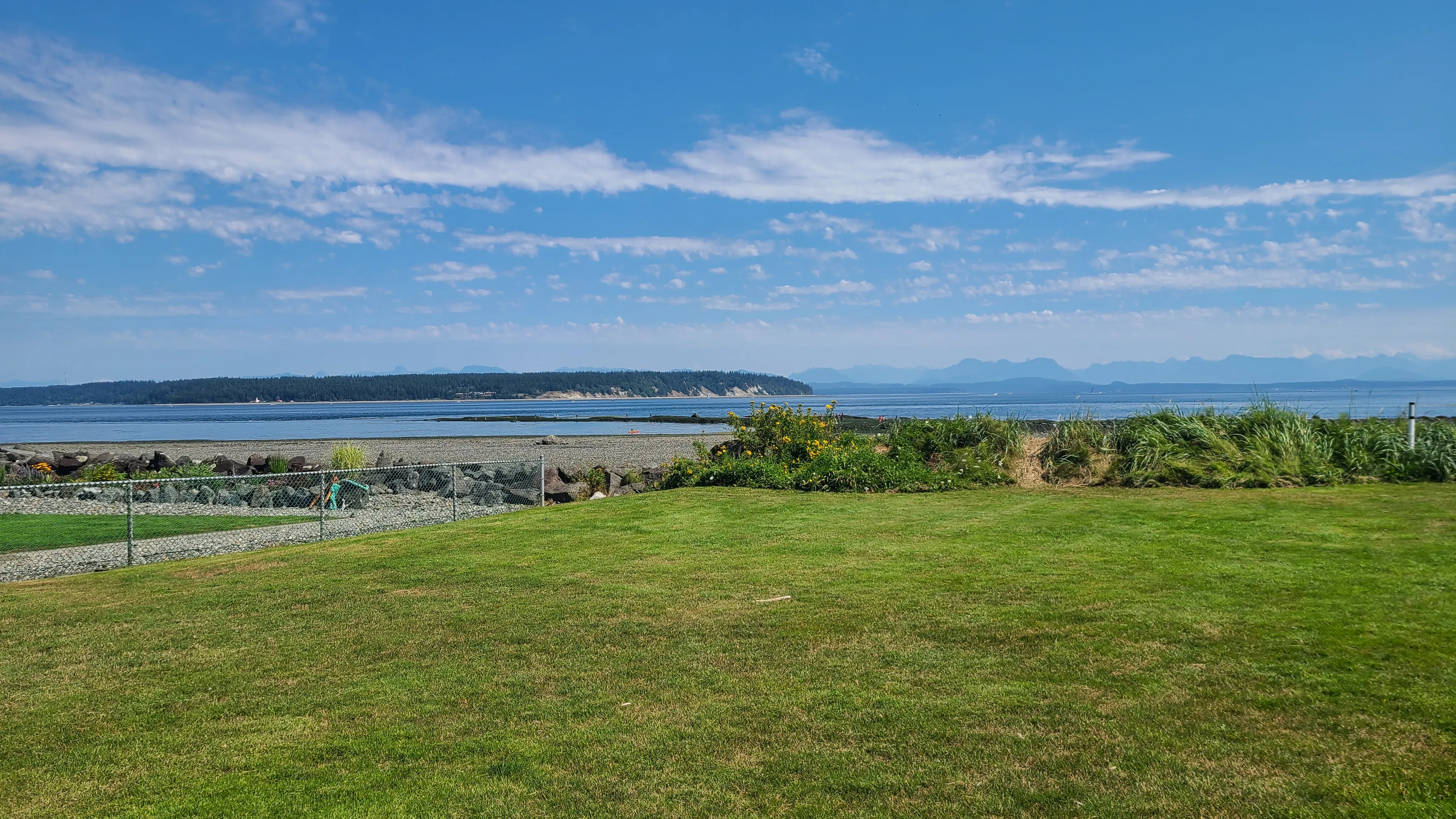
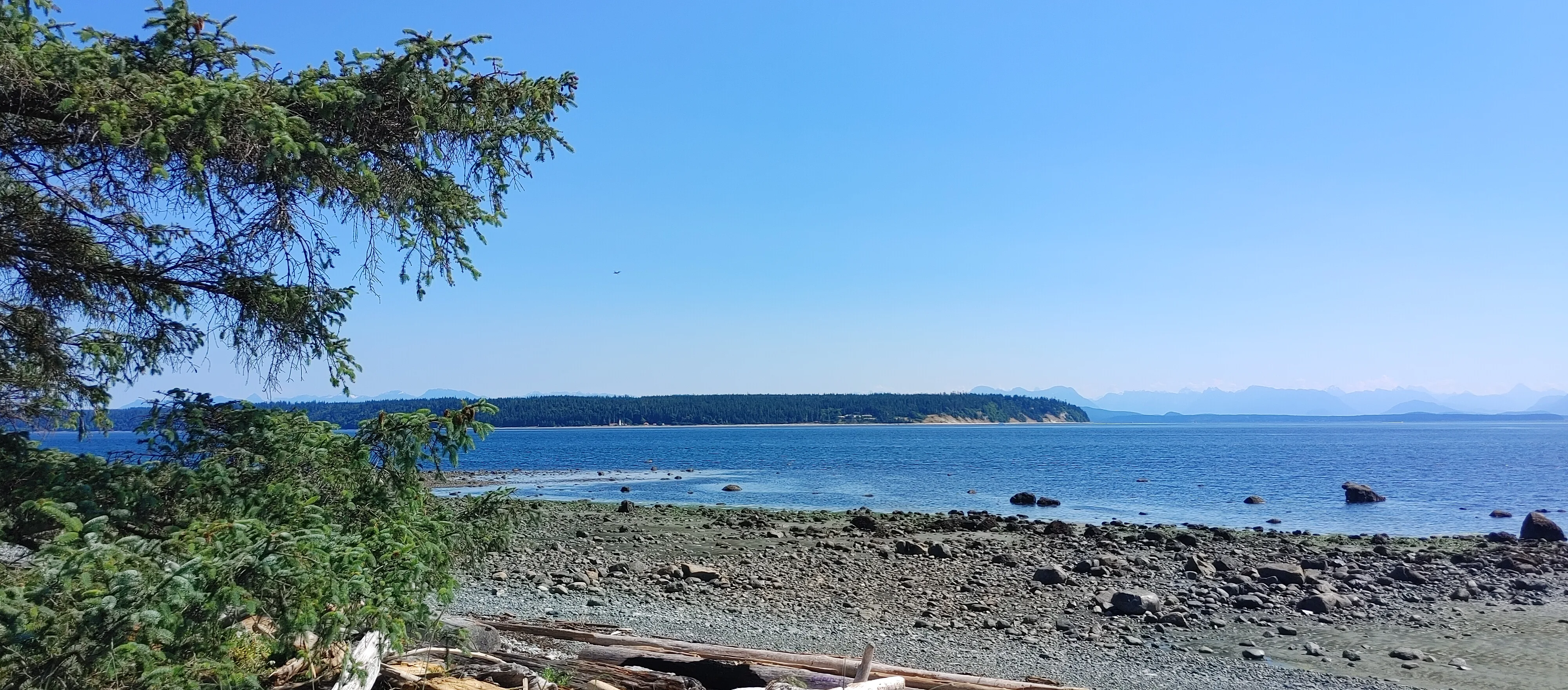
Summers on the 50th parallel are warm and relatively dry. July and August draw heavy crowds to the sand at Stories Beach and Saratoga Beach. The sun stays up late, giving anglers plenty of evening light on the Discovery Fishing Pier, a massive wooden structure extending over the saltwater.
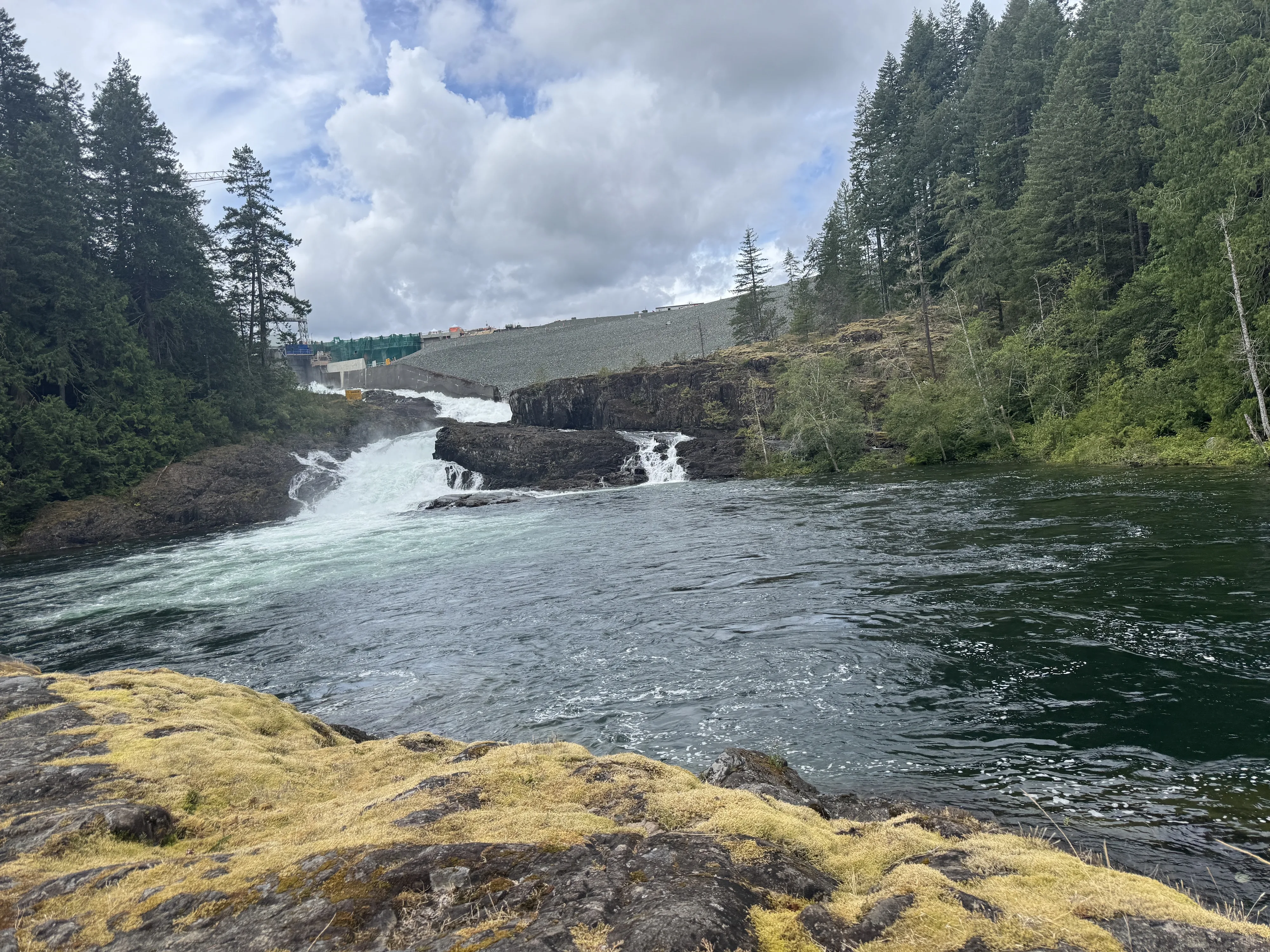
Temperatures drop in September, signaling the start of the major salmon runs. Black bears line the riverbanks, making autumn a busy time for wildlife watchers. Hikers head to the Canyon View Trail or Elk Falls to watch the changing leaves under crisp, clear skies.
Winter brings heavy rain to the coast, though the thermometer rarely dips far below zero. Up in the Strathcona mountains, that precipitation turns to deep snow, creating excellent conditions for snowshoeing. Down at sea level, residents shift to indoor sports at the local arenas.
Spring arrives by March. The undergrowth turns bright green, and early hikers hit the paths at Elk Falls Provincial Park before the summer tourist traffic begins.
Highway 19 acts as the primary spine of the region. It runs north to south, carrying commercial trucks and daily commuters along the eastern edge of Vancouver Island.
To go west, drivers take Highway 28. This winding, two-lane road is the only paved route into the mountainous interior and terminates near the shores of Buttle Lake.
Marine transit relies entirely on BC Ferries. A car ferry runs back and forth across a narrow channel to Quadra Island every hour. From the opposite side of Quadra, another ferry makes the longer crossing to Cortes Island. Schedules shift based on the season and day of the week.
Pedestrians and cyclists share the Sea Walk. This paved, multi-use path follows the mainland shoreline south toward a massive glacial erratic known as the Big Rock. It keeps foot traffic safely away from the highway and gives walkers a clear view of passing marine mammals.

Public green spaces line the waterfront. On the mainland, residents gather on the sand at Rotary Beach Park or watch the floatplanes land from Robert V. Ostler Park. Boaters heading out from Quadra often drop anchor at Octopus Islands Marine Provincial Park or paddle through Small Inlet Marine Provincial Park.
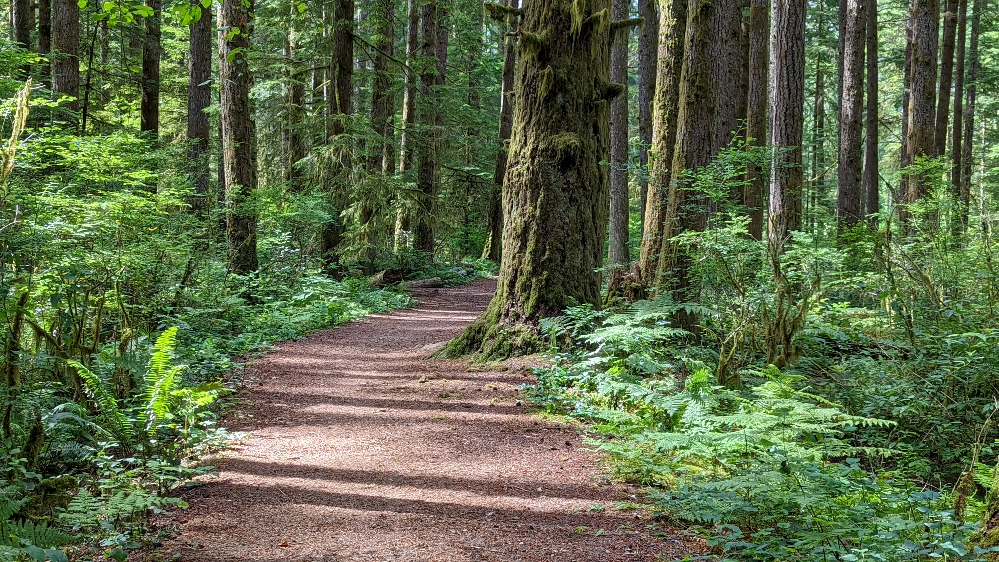
Inland trails cut through thick second-growth timber. The Elk Falls Suspension Bridge hangs high above a rocky gorge, giving visitors a clear view of the rushing water. Mountain bikers and dog walkers frequent the wide, flat paths at Nymph Falls Nature Park. Further south, Miracle Beach Provincial Park contains a massive campground right next to the ocean.
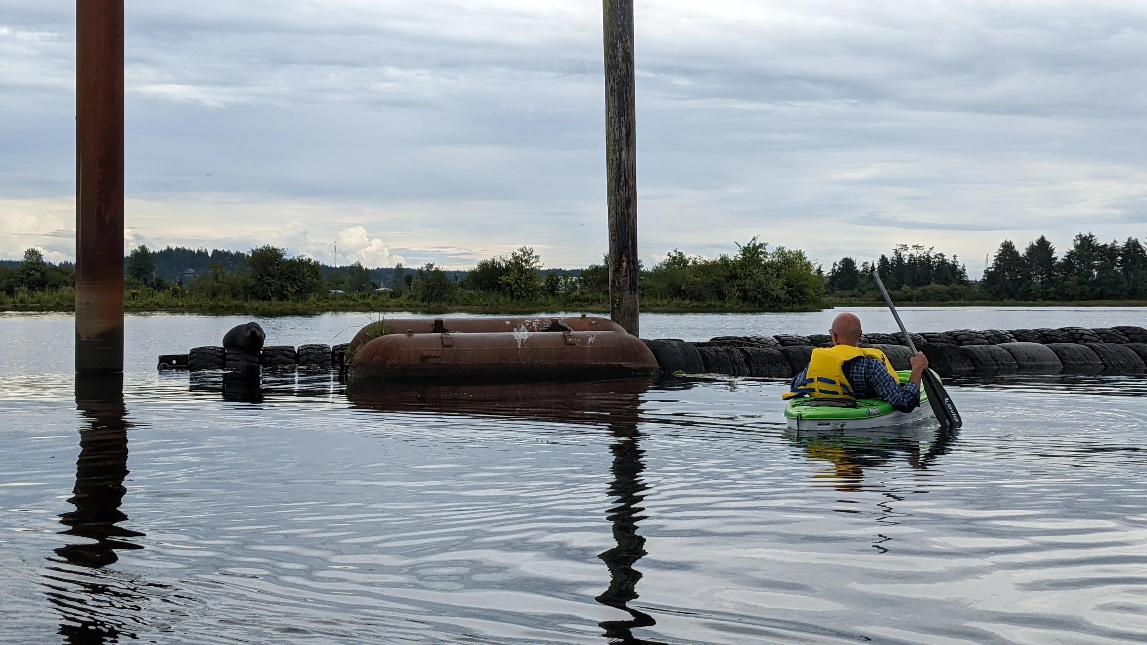
Marine life drives the local economy. The Tyee Club has regulated traditional rowboat fishing for Chinook salmon for a century, and anglers routinely catch all five Pacific salmon species just offshore.
Commercial operators run daily boat trips up into Bute Inlet to watch grizzly bears feed on spawning fish. Back in town, the restaurant scene leans heavily on fresh seafood and local craft beer.

Heavy industry and Indigenous heritage shape the local culture. The Museum At Campbell River and the Maritime Heritage Centre document the logging era and the massive mid-century detonation of Ripple Rock. Across the water on Quadra, the Nuyumbalees Cultural Centre at Cape Mudge holds a significant collection of historical artifacts.
Daily life revolves around the tides. Locals routinely walk down to the wooden fishing pier to buy ice cream and check the daily catch boards. The Tidemark Theatre brings live music and touring plays to the downtown core year-round.
Newcomers should start their orientation at the shoreline. Walking through Robert V. Ostler Park shows you exactly how close the shipping lanes are to the commercial district. From there, the downtown coffee shops are just a block away.
To understand the scale of the timber industry, drive up to Elk Falls Provincial Park. Standing among the massive fir trees puts the region's logging history into immediate perspective.
The mainland functions as the commercial hub, containing the hospital, big-box retail, and multi-lane roads. Quadra Island relies on a ten-minute ferry connection and maintains a rural, forested environment with no traffic lights.