

Hiking Trails
Elk Falls
Campbell River
Every trail around Campbell River in one place, from short waterfall walks at the edge of town to full days in Strathcona Park and island loops on Quadra.
Hiking here runs from short waterfall walks on the edge of town to multi-day routes in Strathcona Provincial Park. Quadra Island's trail network is ten minutes away by ferry, and the Comox Valley's river walks are about an hour south. This guide covers 24 trails, grouped by area.
Within half an hour of downtown you can stand above a canyon waterfall, look down on Seymour Narrows, or walk into the oldest provincial park in British Columbia.
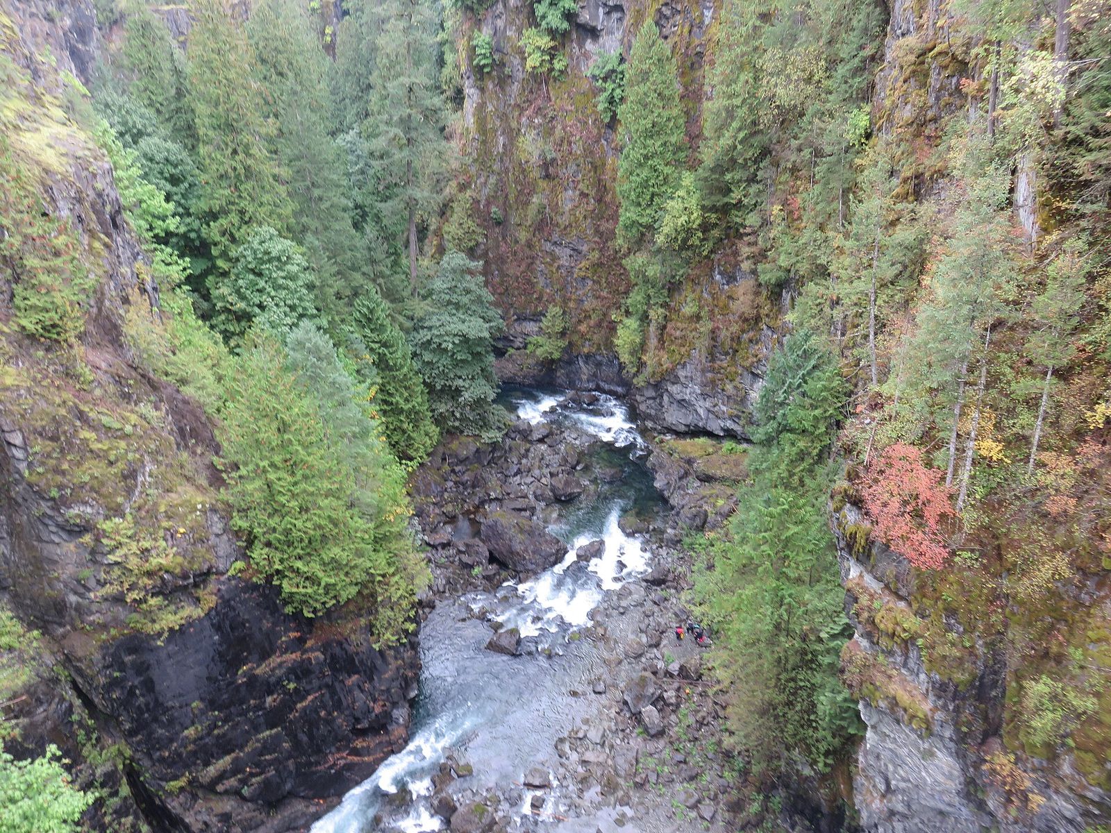
Elk Falls Provincial Park starts at the edge of town, a few minutes up Highway 28, and most people's first hike here begins there. An easy walk of about 800 m brings you to the suspension bridge, where the river drops straight into the canyon below your feet. After that, the Canyon View Trail follows the Campbell River on a 4.6 km loop that takes about an hour.
North of town, the Ripple Rock Trail runs about 4 km each way through forest to a bluff above Seymour Narrows. Below is the channel where, in 1958, engineers blew the top off Ripple Rock in one of the largest non-nuclear explosions ever set off, ending a hazard that had sunk or damaged more than a hundred vessels.
Head west and Highway 28 takes you into Strathcona Provincial Park. Short waterfall trails start right beside the road: Lady Falls and Lupin Falls are each under a kilometre, and Upper Myra Falls is a 3 km walk at the far end of Buttle Lake. With a full day, you can climb the Elk River Trail about 11 km to Landslide Lake beneath Mount Colonel Foster, or take on Crest Mountain, which gains about 1,250 m to an alpine ridge.
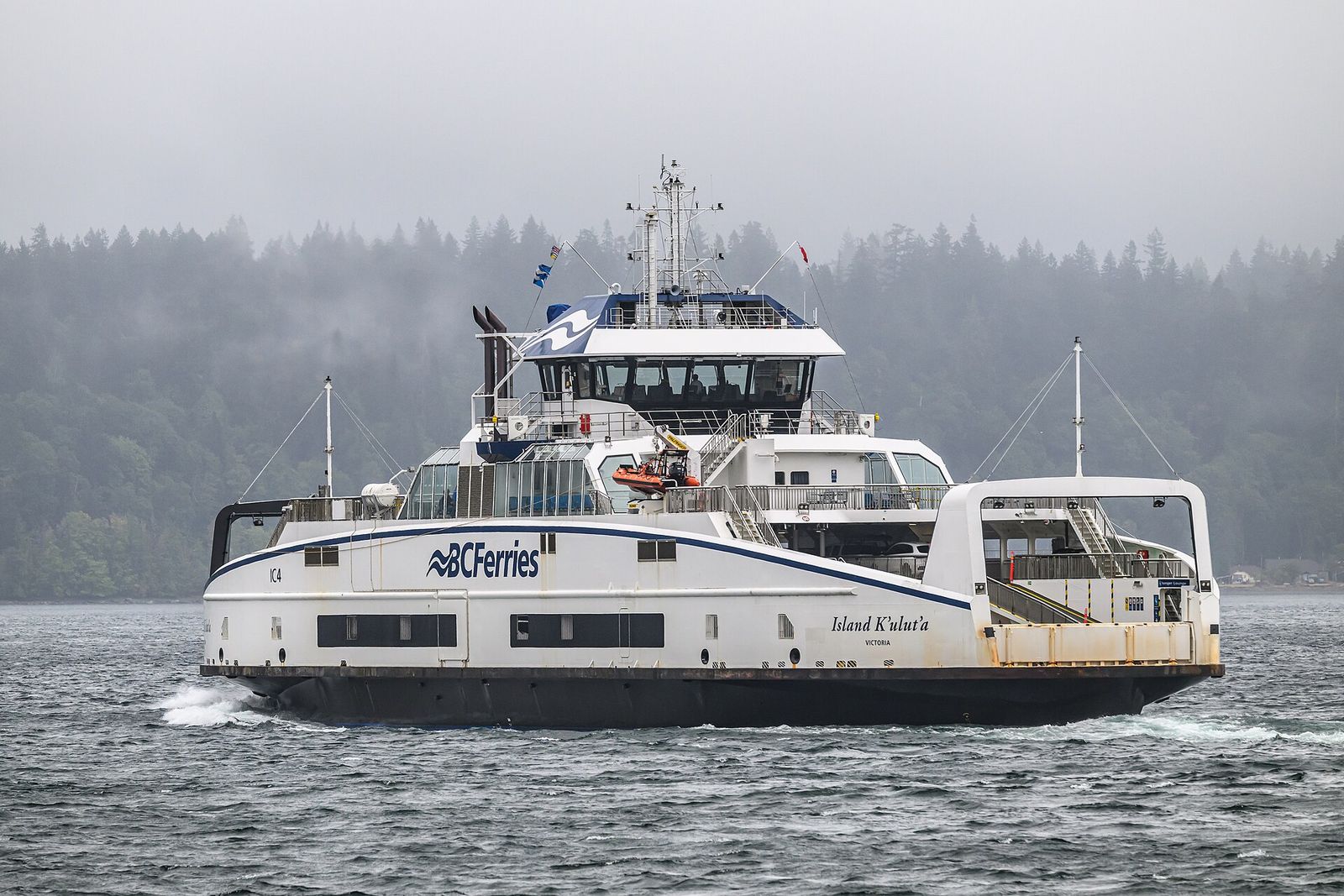
The islands are a ten-minute ferry ride away. On Quadra, the Chinese Mountains loop crosses two rocky summits with views over Discovery Passage, and Morte Lake is a quiet forest lake you can walk all the way around.
Wherever you go, remember this is wild country. Black bears and cougars live here, weather in the park turns quickly, and cell coverage disappears west of town. Leave a trip plan with someone, carry bear spray, and check BC Parks advisories before you set out.
Six trails to start with, from a short waterfall walk to a full day in Strathcona.
Campbell River

Campbell River

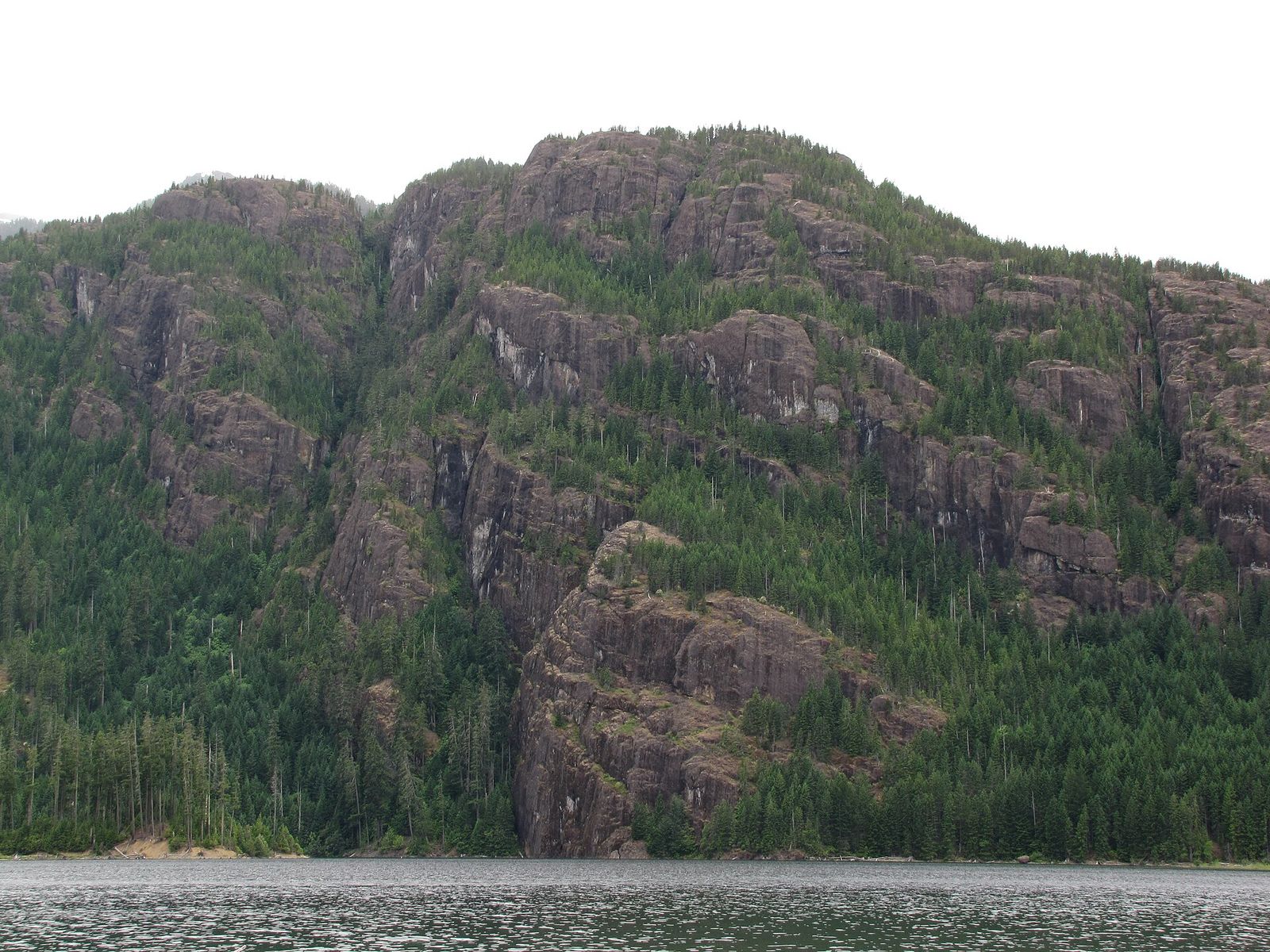
Strathcona

Strathcona

Strathcona

Strathcona
Hover for a closer look.Tap a card for a closer look. A conversation takes you further.
Trails are grouped by where they start, from the edge of town out to Strathcona Park, the islands and the Comox Valley. Distances come from the park and trail managers. Anything we could not confirm says "check before you go".
Start with the Elk Falls suspension bridge, an easy 800 m walk on the edge of town. Then try the 4.6 km Canyon View loop, or drive Highway 28 to the short waterfall trails in Strathcona Park.
The easiest big view in the region is Elk Falls in Elk Falls Provincial Park, on the edge of town off Highway 28. An easy walk of about 800 m takes you to the suspension bridge and the north and south viewpoints over the canyon. Deer Falls is in the same park.
The Canyon View Trail is a 4.6 km loop along the Campbell River that most people walk in 1 to 1.5 hours. Start from the Quinsam Campground area off Highway 28 or the BC Hydro parking area at John Hart. The park has about 6 km of trails in all.
For a forest walk inside the city, the trails of the Beaver Lodge Lands are on the west side of town.
The Ripple Rock Trail starts at the Nymphe Cove Recreation Site, about 16 km north of town on Highway 19. It runs about 4 km each way (8 km return) through forest to a bluff above Seymour Narrows, where Ripple Rock was blasted in 1958. Allow 2.5 to 3.5 hours.
Further north on Highway 19, the Trout Creek and Mohun Creek falls trailhead leads to two smaller waterfalls. Check access and conditions before you go.
Highway 28 runs west from town into Strathcona Provincial Park, the oldest provincial park in BC. Short waterfall trails start right off the highway and the Westmin road along Buttle Lake.
These are mountain routes. Weather changes fast, snow can stay into July at higher elevations, and there is no cell coverage on most of them. Read the BC Parks trail report before you leave.
Paradise Meadows Trail starts near the Raven Lodge at Mount Washington. The Centennial Loop is a 2.2 km barrier-free boardwalk and gravel trail, and the full meadows loop is about 4.2 km. From here, longer trails lead deeper into Strathcona Park's Forbidden Plateau.
Quadra Island has a connected trail network a short drive from the Quathiaski Cove ferry.
For an easy walk, Rebecca Spit near Heriot Bay has flat paths along the shore.
On Cortes Island, the Easter Bluffs trail near Mansons Landing climbs to a view over Desolation Sound, and Red Granite Point is a shoreline walk. Trail details on Cortes change often, so check locally before you go.
A short drive south brings you to the Comox Valley's river walks.
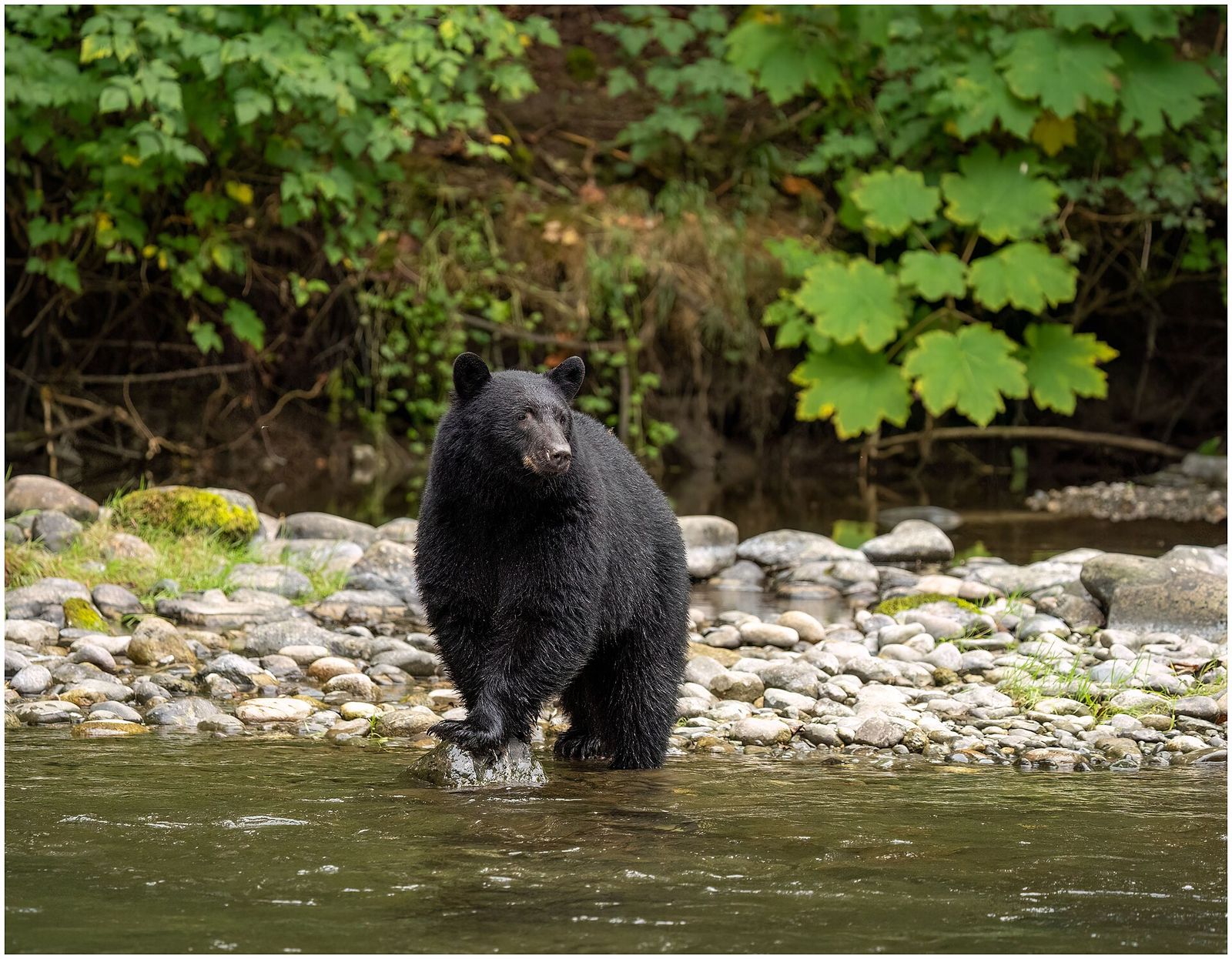
Black bears and cougars live throughout the region. Make noise on the trail, carry bear spray where you can reach it, and keep dogs on a leash. Leashes are required in BC Parks.
Leave a trip plan with someone (AdventureSmart has a free form), carry the ten essentials, and check the BC Parks advisories for closures before any Strathcona trip. Cell coverage drops out quickly west of town.
Search by name or narrow by type.
See them on the map Hiking TrailsBeaver Lodge LandsCampbell River
 Hiking TrailsBedwell TrailStrathcona
 Hiking TrailsBrown's River FallsComox ValleyHiking TrailsCanyon View TrailCampbell RiverHiking TrailsChinese Mountains TrailQuadra Island
 Hiking TrailsCrest MountainStrathcona
 Hiking TrailsDeer FallsCampbell River
 Hiking TrailsDella FallsStrathcona
 Hiking TrailsEaster Bluff TrailheadMansons LandingHiking TrailsElk FallsCampbell RiverHiking TrailsElk River TrailStrathcona
 Hiking TrailsKarst Creek TrailStrathcona
The walk to the Elk Falls suspension bridge is about 800 m and easy. The 4.6 km Canyon View Trail loop along the river takes most people 1 to 1.5 hours.