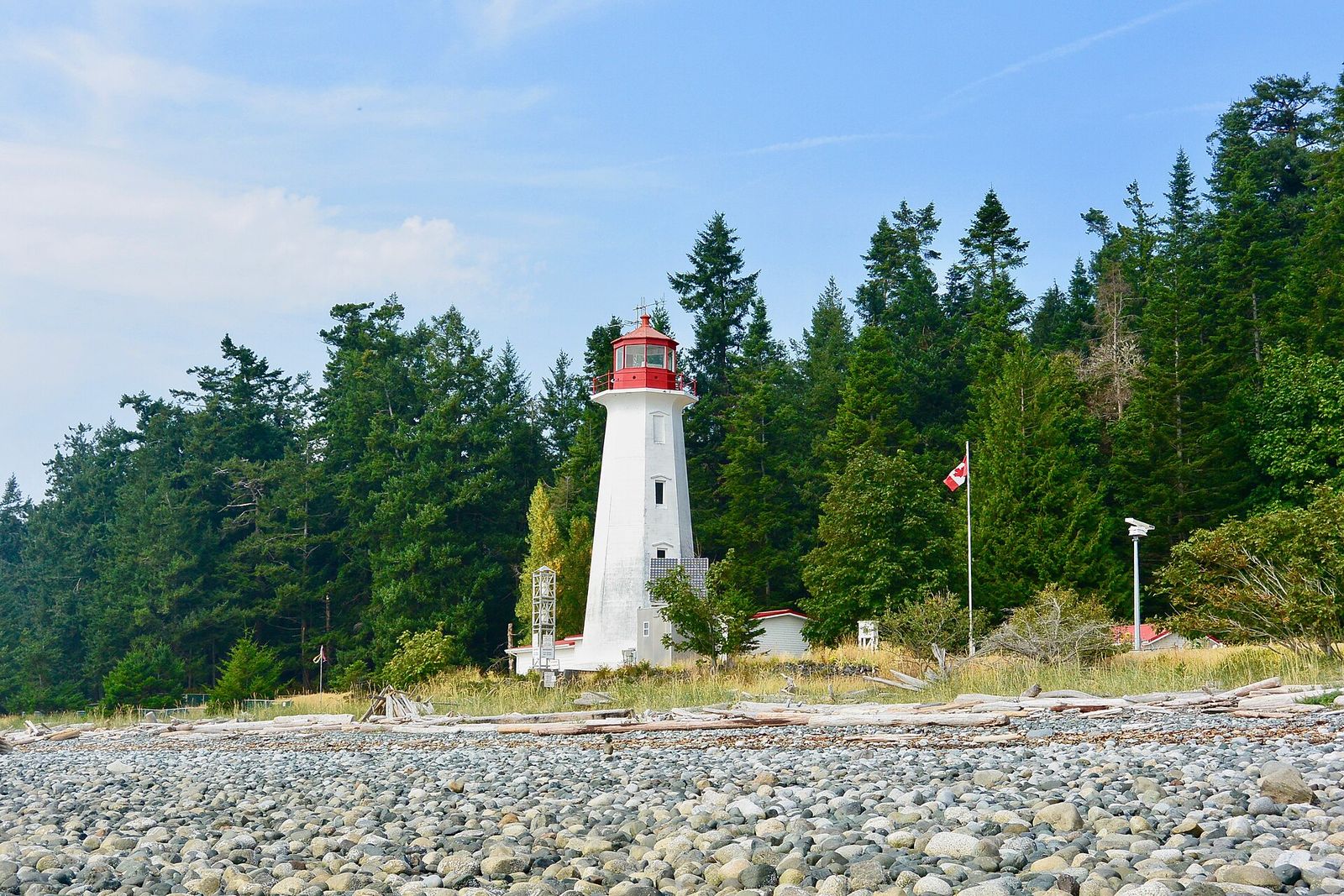
Verified and mapped
Every place has real photos, details and a pin on the live explore map.
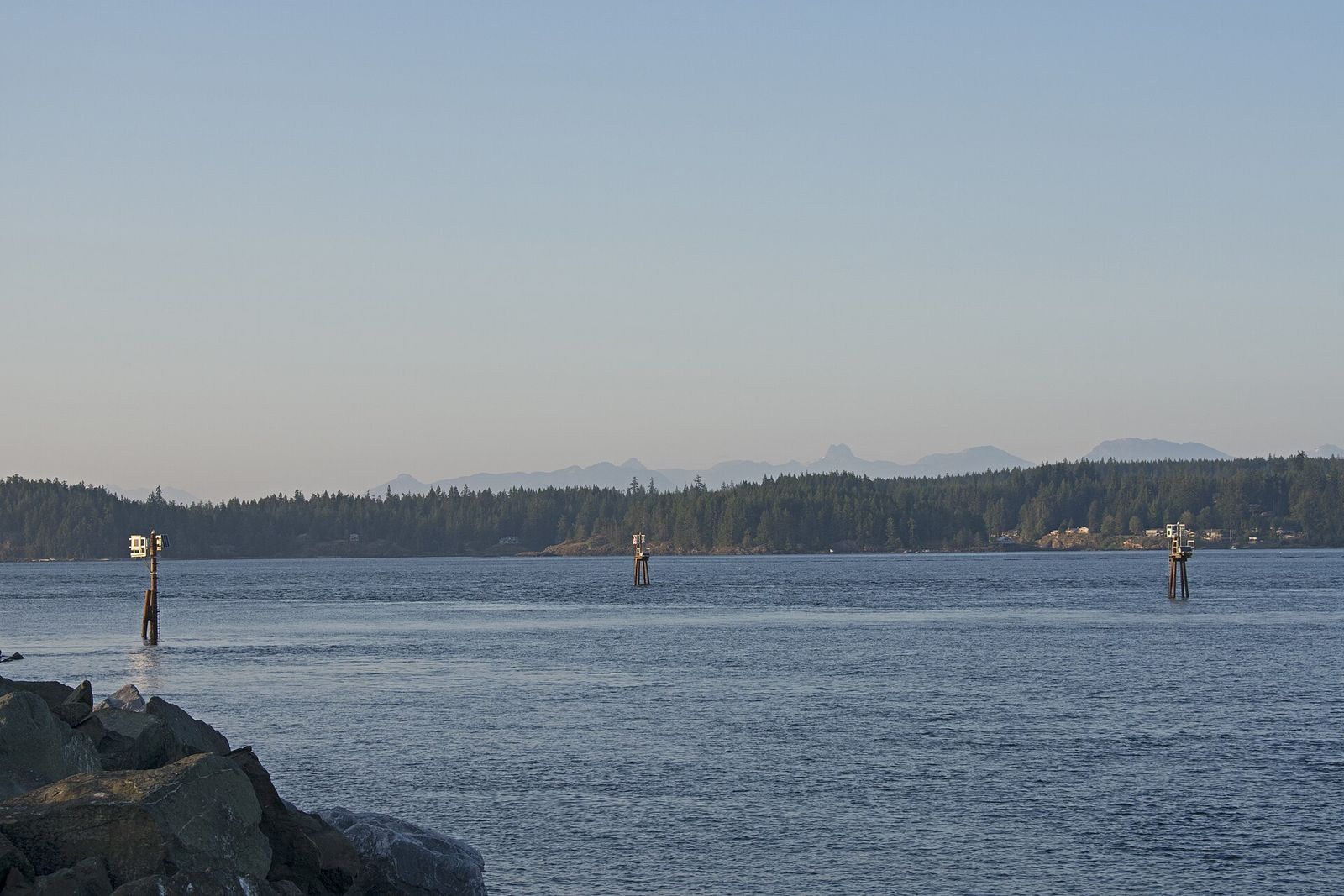
We mapped every beach, trail, fishing charter and neighbourhood so you know exactly where to go on the North Island.
We documented the Discovery Islands, Strathcona Provincial Park and the surrounding coastal communities. You will find details on saltwater fishing piers, suspension bridges and wildlife tours. An AI assistant named Doug turns these listings into practical itineraries.
Campbell River changes fast. The guidebooks don’t.
Campbell River has more to it than the postcards: coastal neighbourhoods with their own personalities, world-class fishing charters, a passage that runs the length of the coast and incredible wildlife at every turn. Most of it was scattered across old blog posts, outdated directories and word of mouth.
The Campbell River Guide pulls it into one place. Every listing is verified and mapped, with real photos, real details and a pin on our live explore map. Our local guides help people choosing where to explore, and our city guides help visitors and locals make the most of a Saturday on the water or the trails.
We also believe local businesses deserve better than a line in a directory. Owners get a rich profile, a place in the guides and a direct line to the people already searching for what they do.
Every place has real photos, details and a pin on the live explore map.
Ask anything, any time: where to swim, which trail, what to book. She knows the whole guide.
30 neighbourhood guides and 195 condo building profiles for people choosing a home.
Free profiles, featured placements and virtual tours that put owners in front of the right people.
It is a free, locally written index covering Quadra Island, Cortes Island, Strathcona Provincial Park and the surrounding coastal region in British Columbia. We detail places to eat, drink and sleep, along with neighbourhood profiles.