
The Seawalk
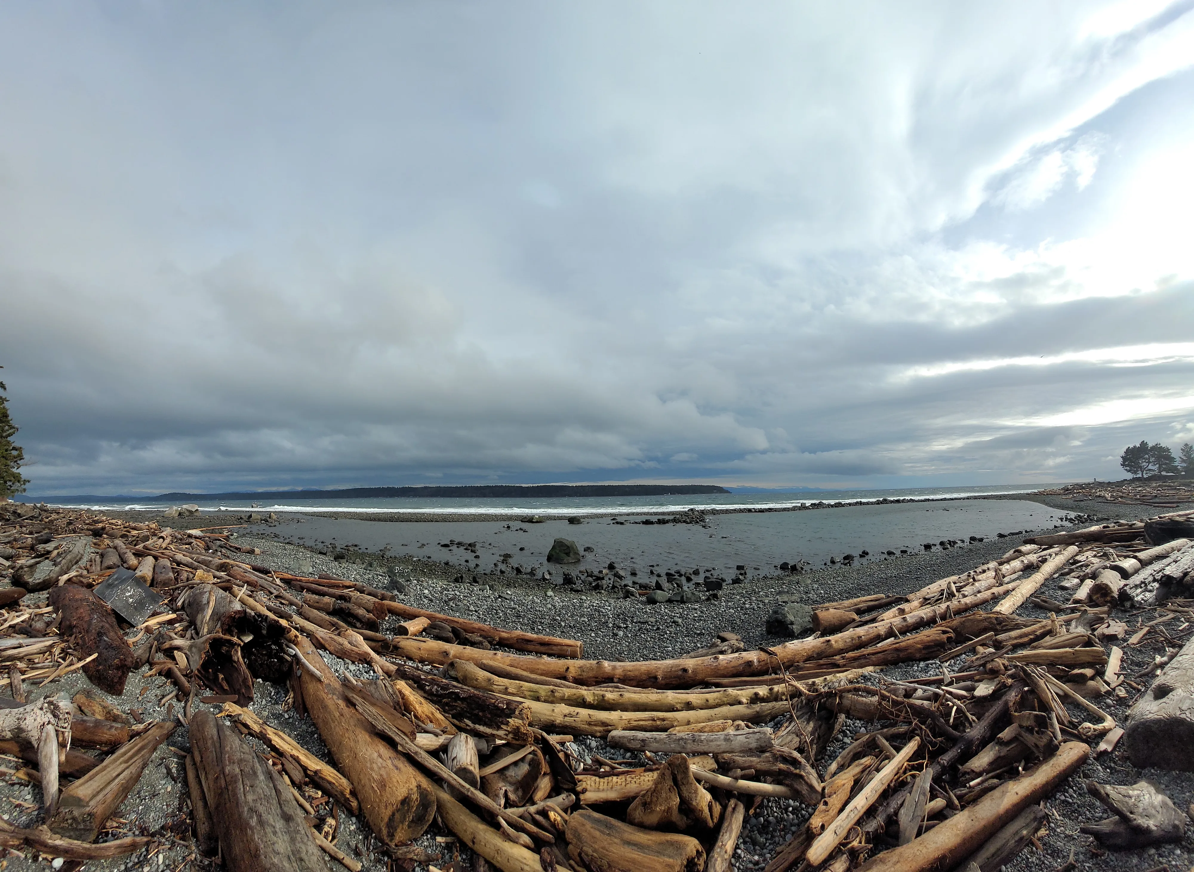
Flat, paved waterfront path along the Island Highway with views to Quadra Island.
The everyday middle of the city: schools, the hospital, the pool and the seawalk, all between downtown and Rockland Road.
Central Campbell River is the city's biggest residential area, stretching south from downtown to Rockland Road and inland from the Island Highway waterfront to Dogwood Street and the Beaver Lodge Lands. It holds the hospital, most of the city's schools, Strathcona Gardens and a long run of the seawalk.
School runs, swim lessons and a seawalk stroll, usually within a few blocks of home.
If you live in Campbell River long enough, you end up in Central for something. The hospital is here. So are Carihi Secondary, Phoenix Middle School, École des Deux Mondes and a string of elementary schools from Cedar and Pinecrest down to Sandowne and Rockland. Strathcona Gardens, with its pools and arenas, fills up every weekday after school.
The streets were mostly built out from the 1960s on, so the housing is a mix: post-war bungalows and split-levels on big lots, newer infill, townhomes and a growing number of low-rise condos along the main roads. It's often where buyers find the best value close to the water and downtown.
The east edge is the Island Highway and the ocean. The seawalk runs along it, flat and paved, with benches facing Discovery Passage and Quadra Island. The Museum at Campbell River sits on the bluff near the north end. On the west side, Dogwood Street carries the shopping centres, groceries and big-box stores, and behind it the Beaver Lodge Lands offer hundreds of acres of forest trails.
Robron Park, Centennial Park and Pinecrest Park handle fields and playgrounds. Small pocket parks like Ruby, Charstate and Heritage Meadows are scattered through the residential streets, so most homes are a short walk from green space.
Everything you need on a weekday, with the ocean at the end of the street.
The seawalk runs the length of the waterfront along the Island Highway, with Rotary Beach Park and the McCallum Park boat ramp along the way. Inland, the Beaver Lodge Lands are a huge network of forest trails for walking, running and biking. Robron, Centennial and Pinecrest parks cover the fields and playgrounds.
Flat, paved waterfront path along the Island Highway with views to Quadra Island.
Regional history, First Nations art and a garden on the bluff above the passage.
Hundreds of acres of forest trails right behind Dogwood Street.
The city's main pool and arena complex, busy with lessons and hockey.
Carihi, Phoenix Middle, École des Deux Mondes and six elementary schools.
Sports fields, playgrounds and room to run on the south side.
Central Campbell River runs from the south edge of downtown at 9th Avenue to Rockland Road, and from the Island Highway waterfront west to Dogwood Street and the Beaver Lodge Lands. Rockland is its southern waterfront corner. Downtown is to the north, Quinsam Heights to the west and Willow Point to the south.
Campbell River, BC